The Invisible Line: Contamination Boundaries from the Sky
At Chernobyl in 1986, liquidators walked into radiation zones with handheld dosimeters that beeped — but couldn’t tell them where the boundary was. They measured the danger they were already inside. CBRN-CADS draws the boundary from above, before anyone crosses it.
Boundary Blindness
Chernobyl’s Invisible Geography: The Zones Nobody Could See
On April 26, 1986, Reactor 4 at the Chernobyl Nuclear Power Plant exploded, ejecting 400 times more radiation than the Hiroshima bomb. The 600,000 liquidators who responded over the following months faced an unprecedented challenge: contamination zones that were invisible, irregular, and constantly shifting. A field that measured 0.5 Sv/hr on one side of a tree could measure 50 Sv/hr on the other — a lethal dose in 30 minutes — because wind patterns and debris distribution created micro-zones of extreme concentration invisible to the naked eye.
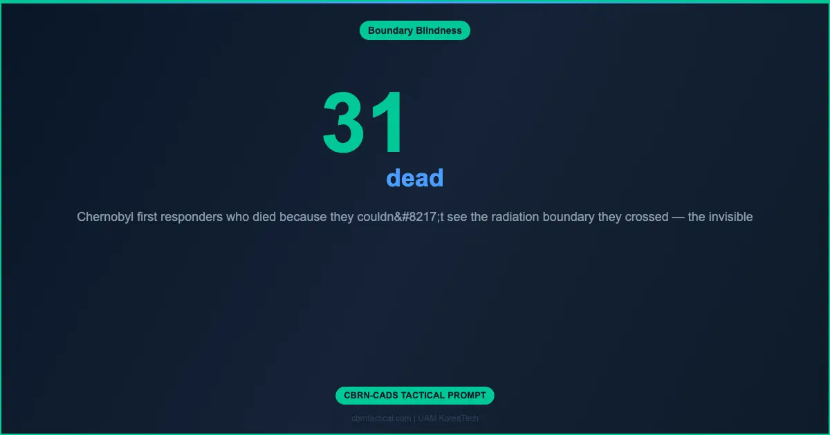
The liquidators’ tools — handheld Geiger counters and dosimeters — told them what they were standing in, not what lay ahead. They mapped contamination by walking into it. Every boundary they discovered was discovered by crossing it. The first 31 deaths (plant workers and firefighters) occurred because the concept of “contamination boundary” was meaningless without the ability to see it from outside the zone.
The Boundary Paradox: You Can’t Mark What You Can’t See From Outside
Chemical contamination boundaries are defined by molecular concentration gradients — invisible transitions from safe to lethal. The human sensory system cannot detect most chemical agents until physiological symptoms begin (at which point lethal exposure may have already occurred). Even electronic point detectors merely confirm concentration at their exact location — they cannot “see” the boundary 50 meters ahead.
The Dynamic Boundary: CBRN-CADS Digital Contamination Perimeter
→
→
→
→
| Capability | Chernobyl 1986 | NATO Current | CBRN-CADS |
|---|---|---|---|
| Boundary Discovery | Walk into zone | Ground survey team | Aerial standoff |
| Update Speed | Days | Hours | Real-time |
| Personnel Risk | Lethal (31 died) | High (MOPP-4 entry) | Zero |
| Prediction | None | Manual weather calc | AI trajectory forecast |
| 3D Mapping | None | None | Full volumetric |
| Shared Awareness | Paper maps | Voice radio + overlay | Digital push to all |
Beyond Chernobyl: The Invisible Line in Every Future Conflict
The invisible line isn’t just a nuclear or chemical phenomenon — it defines every CBRN scenario. Biological contamination (anthrax spores on surfaces), toxic industrial chemicals (chlorine cloud from a bombed factory), and radiological dispersal devices (“dirty bombs”) all create invisible boundaries that current doctrine discovers by walking through them. CBRN-CADS makes every invisible boundary visible, dynamic, and predictive — transforming contamination response from reactive exploration to informed management.
Chernobyl Research Unit
Mirion Technologies
FLIR RadSight
Thermo Fisher Scientific
[CONTAMINATION_TYPE] = // chemical, biological, radiological, nuclear, TIC
[RELEASE_SCENARIO] = // point source, line source, area denial, industrial accident
[WEATHER_CONDITIONS] = // wind speed/direction, temperature, humidity, precipitation
[TERRAIN] = // urban, open, forested, coastal, mountainous
[PROTECTED_ASSETS] = // military units, civilian population, critical infrastructure
Output: (1) Initial boundary estimation from aerial survey, (2) Sensor placement for continuous monitoring, (3) Drift prediction model with confidence intervals, (4) Alert triggers for boundary shift toward protected assets, (5) Decon prioritization to shrink boundary, (6) Safe-approach corridors for follow-on forces.
Leave a Reply